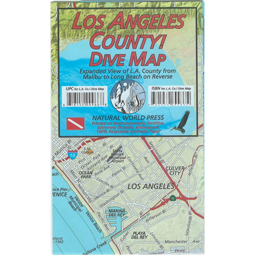
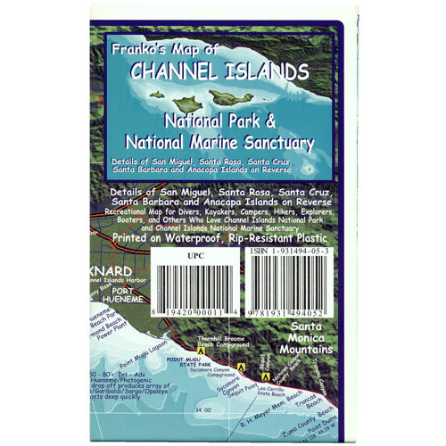
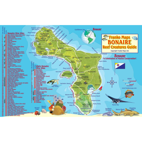
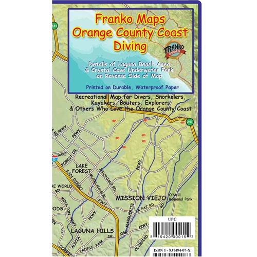
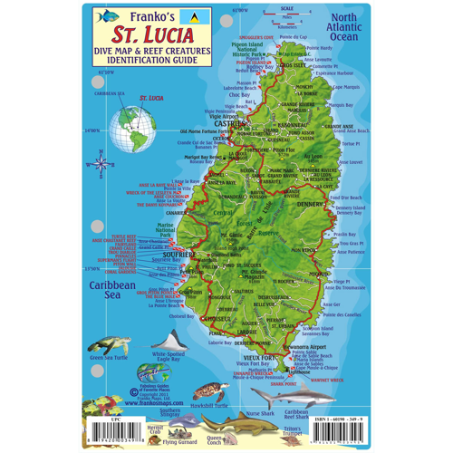
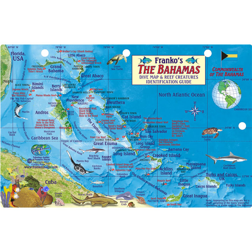
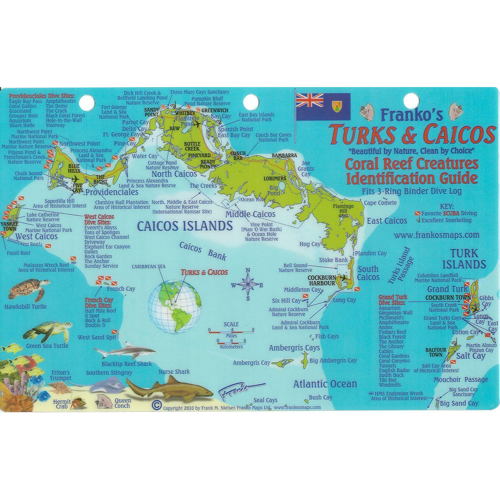
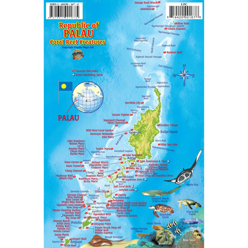
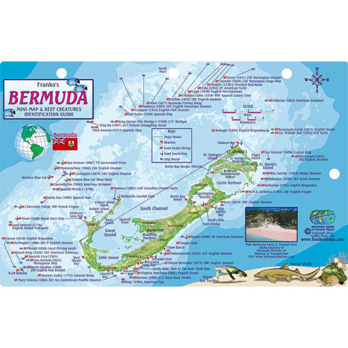
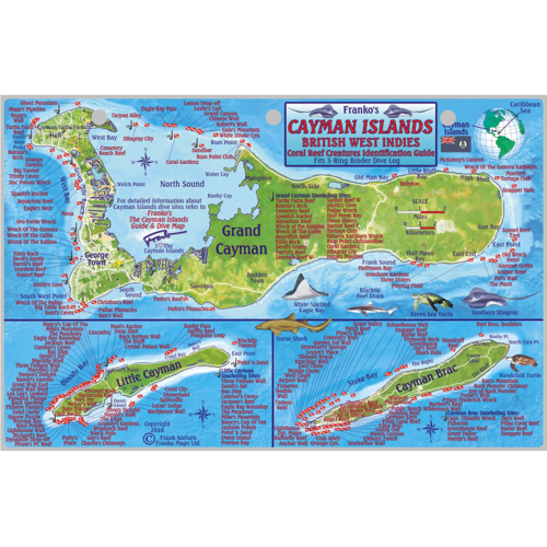
Exploring the world beneath the waves or navigating the vast expanse of open water requires more than just a sense of adventure—it calls for reliable information and tools that help you chart your course safely and confidently. Marine maps are indispensable for anyone venturing into aquatic environments, whether you’re an experienced diver planning a deep-sea exploration, a sailor mapping out a coastal journey, or a snorkeler curious about hidden reefs. These maps, available in a range of formats from traditional paper charts to advanced digital displays, detail underwater topography, currents, wreck sites, and marine protected areas, offering a comprehensive view of the underwater landscape. For divers, a well-detailed marine map can reveal secret drop-offs, kelp forests, and intriguing wrecks that might otherwise go unnoticed. Sailors and kayakers rely on accurate mapping to avoid hazards, locate safe anchorages, and make the most of favorable tides. Even casual beachgoers or families planning a seaside holiday can benefit from marine maps, using them to identify the best snorkeling areas or tide pools teeming with life.
When considering marine maps, it’s important to think about the environment and your specific needs. Waterproof and tear-resistant materials are a must for any map that will be exposed to salt spray, wet hands, or sudden downpours—especially during the busy summer months when excursions tend to be longer and more frequent. For those who prefer digital navigation, many modern marine maps integrate seamlessly with GPS devices and mobile apps, providing real-time updates and pinpoint accuracy. These digital solutions are ideal for tech-savvy adventurers who want to track their route, mark favorite dive sites, or share discoveries with friends. On the other hand, classic paper maps offer a tactile experience that many mariners still swear by, especially as a trusted backup when electronics fail or batteries run low. Gifting a beautifully illustrated marine map—perhaps of a favorite bay or island—can be a thoughtful gesture for anyone passionate about the sea, from newly certified divers to seasoned boaters. Such a gift not only serves a practical purpose but also becomes a cherished keepsake, often finding a place of honor on cabin walls or in home offices as a reminder of past adventures.
For anyone serious about marine navigation, pairing a reliable map with the right navigational tools can make all the difference. While a map provides the lay of the land (or sea), instruments like depth gauges, tide tables, and compasses help translate that information into actionable guidance on the water. If you’re new to marine navigation or simply want to upgrade your toolkit, consider exploring our selection of
Marine Compasses, which complement any map and ensure you always know your heading, even when visibility is low or the current picks up unexpectedly. There’s a certain satisfaction in plotting a course, cross-referencing landmarks, and watching as the world unfolds just as the map predicts. Whether you’re planning a summer expedition to a remote atoll, guiding a group of friends on their first snorkeling adventure, or simply enjoying a quiet paddle at dawn, marine maps are more than just reference tools—they’re passports to discovery, helping you unlock the secrets of the sea with confidence and care.