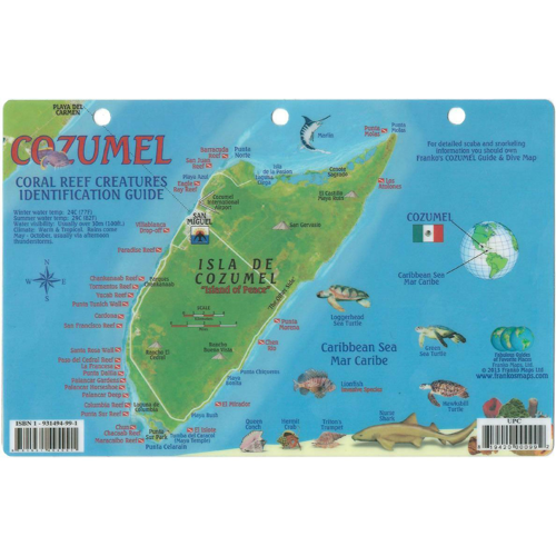
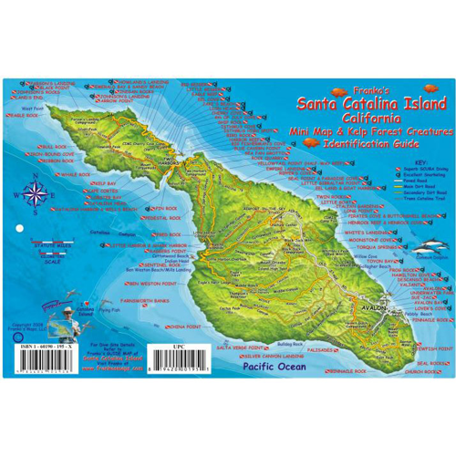
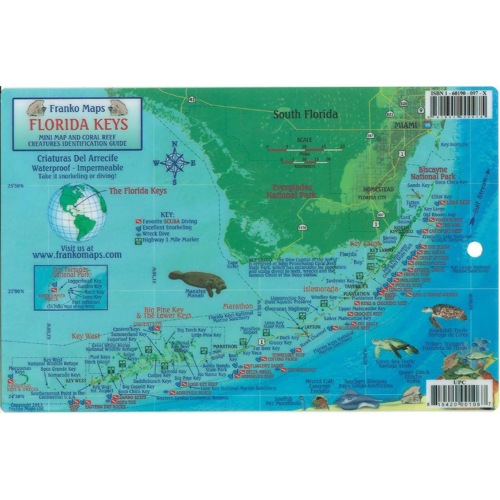
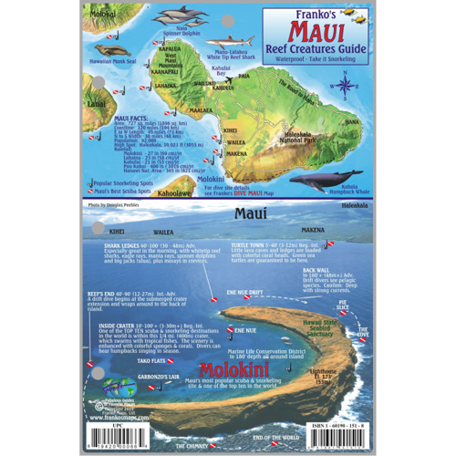
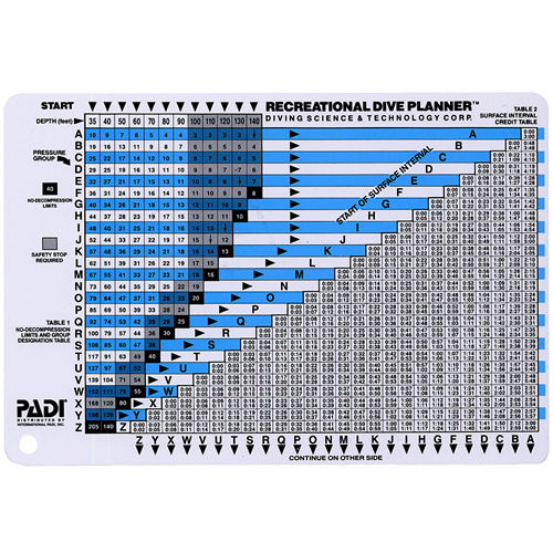
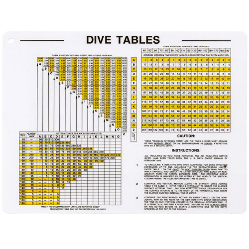
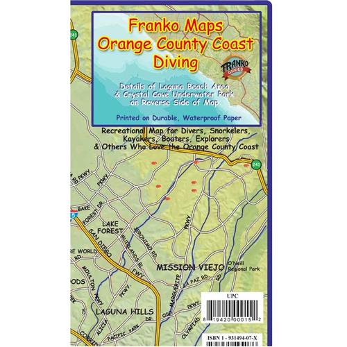
Dive Planning Maps
$1199.99
Save:
$200
(17%)
In Stock


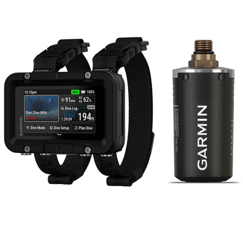
$1999.98
Save:
$200
(10%)
In Stock